It’s going to happen before 3 am folks!
The Team is flat out cruising! GPS shows 9.1mph. It also shows one of the fastest times from White Mountain to Safety.
What a performance!
It’s going to happen before 3 am folks!
The Team is flat out cruising! GPS shows 9.1mph. It also shows one of the fastest times from White Mountain to Safety.
What a performance!
 The last Nine miles of this Great Race. I am going to have Iditarod withdrawls for a week!!!
Pete and the Team are 2 miles in front of Musher Thomas Lesatz. Both mushers will finish “In the Money.”
The Bethel Crowd is building at the Finish Line to Welcome the Team to Nome and we’ll be right here for all of the action.
| Race Mile: | 896.0 |
|---|---|
| Latitude: | N 64°27.661′ |
| Longitude: | W 165°0.46′ |
| Speed: | 8.3MPH / 13.3KPH |
| Heading | 262° W (true) |
| Temperature | 8°F / -13.4°C |

GPS Reports Pete and the Team through Safety. 18 Miles to go. It surely could be a finish before 3:am, but most Mushers have been taking 3 hours. In any case, we are down to the last 18 miles of an epic adventure spanning Alaska and the imaginations of us all.
Pete Kaiser is now leading the group of remaining Mushers left on the trail.
More in an hour…
[UPDATE]

Okay, here’s my calculations:
Pete left White Mountain at 5:36pm.
He has covered 32 miles in 4.5 hours.
He is 36 miles from Nome.
That puts an even earlier than earlier calculated.
Mike Williams Jr. Left White Mountain at a bit after Noon today and crossed the finish line at just before 10pm.
I figure Pete and the Team will cross the finish line between 3:30 and 5am tomorrow Morning.
SOUTHERN SEWARD PENINSULA COAST-
INCLUDING...NOME...WHITE MOUNTAIN...GOLOVIN
855 PM AKDT WED MAR 17 2010
.TONIGHT...MOSTLY CLEAR. LOWS ZERO TO 10 ABOVE ZERO. EAST WINDS
10 TO 20 MPH.
Unfortunately the GPS seems to be having trouble again, so I don’t have a current postion. Hoping to have the Williams Finish photos shortly from the Kaiser Krew in Nome. Take a nap as it’s going to be a long one!!
According to the GPS and the mileage legend, Pete is leading Thomas Lesatz by just over a mile.

From Iditarod
his can be one of the most dangerous stretches on the race when the wind blows or a storm hits. It can make or break champions, not to mention back- of-the-packers. Mushers have nearly died within what would normally be a few hours’ easy running to Nome. In reasonable weather, this is a pleasant five- to eight-hour run; in the worst conditions, it can be impassable.The race uses the main snowmachine trail to Nome. It is well marked at the beginning of the race, but inevitably many markers are knocked over or blown down. Some parts have been permanently marked. Markers are absolutely critical for this leg because visibility can be near zero in storms and ground blizzards.
The trail leaves White Mountain on the Fish River for about three miles, and then leaves the river to cut overland to the southwest, crossing low, rolling tundra and several streams before reaching the Klokerblok River. It runs up the river and across some low ridges, and then crosses into the drainage of the Topkok River.
The trail then turns west and climbs over a series of barren ridges to a 400-foot saddle just northwest of Topkok Head, overlooking the coast. It then descends sharply to the beach, reaching the Nome Kennel Club shelter cabin at the foot of the hill, 30 miles from White Mountain.
For the next 12 miles the trail runs along or just behind the dune line and the “driftwood line” on the shore. This stretch is wide open and is subject to winds of more than 80 miles an hour from the north, as well as blinding whiteouts. The trail will join the Nome-to-Council road (not plowed in the winter) at the Bonanza Ferry bridge and then follow it for the last 12 miles to Safety.
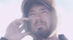
On the way to Safety
Safety Roadhouse
Pete and the Team are out of White Mountain! GO TEAM GO!!
Pete is Leading Lesatz and Sousa! It may prove to be an exciting evening- Stay Tuned for updates throughout the evening!
The whole crew is waiting in Nome. We’ll have a live webcam up shortly!


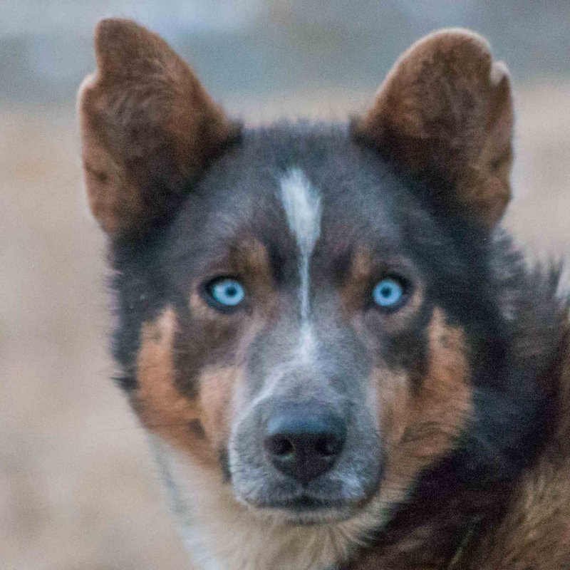
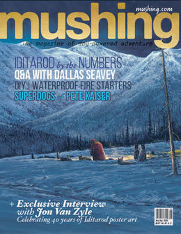 Check out the Kaiser Super Dogs in Mushing Magazine!