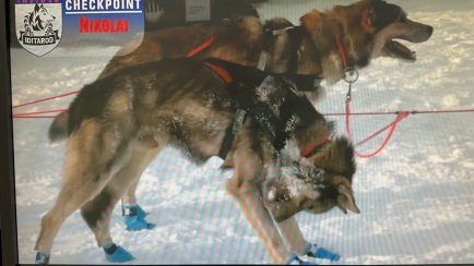
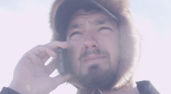
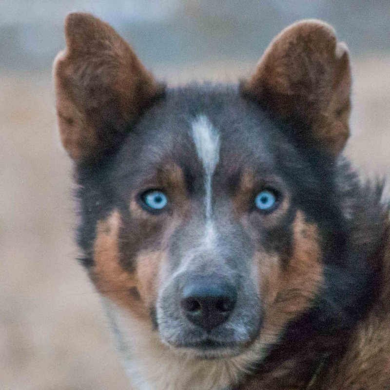
After a 24 hour layover to rest and refresh, Pete and the Team are bound for the Yukon via the namesake for the race, Iditarod!
“Out like a Freight Train!” said one of the spectators as Team Kaiser made their way to the trail. From here it is 102 miles to Iditarod and then on to Shageluk.
Weather seems to be real nice for mushing. Cooler temps should have hardened the trail as well as the fact that there are only a few Teams actually on the trail as most are inside of their 24’s as well. Leaving 32nd meant that virtually no time was added to the layover and some that he was traveling with will actually be a bit more behind than they were upon reaching Takotna.
Trail Description – Takotna to Ophir to Iditarod
This leg is probably closer to 32 miles than the posted 38. It follows the old mining road over to Ophir, built in the 1920s to connect Takotna and Ophir with Sterling Landing, a steamboat landing on the Kuskokwim River. It is now maintained by the state; the stretch from Takotna to Ophir isn’t plowed in the winter. Like other Bush roads, it doesn’t connect to the state highway system.
The first part is a 9-mile climb to the top of the divide between the Kuskokwim River drainage and that of the Innoko River, which flows into the Yukon. The rise is about 800 feet on easy grades. Then the road crosses the divide and runs downhill along Independence Creek for another 8 miles, then follows the south bank of the Innoko River for the last 15 miles into Ophir, with possibly a few overland shortcuts across bends.
his is one of the emptiest legs on the entire race, a full 90 miles of lonely country and endless trail. The trail crosses a mix of terrain and vegetation, ranging from taiga (black spruce) to barren upland tundra to thick river-bottom forests to brushy ravines and hillsides to swamps and lakes. This leg has no major problems, although are always patches of minor overflow, plenty of hills, and some potentially rough trail across the uplands. Its biggest feature is, as somebody once said of driving through Texas, miles and miles of nothing but miles and miles.
You should plan for 12 to 18 hours, including a good several-hour rest somewhere along the way. Many drivers stop at Don’s Cabin, 36 miles out of Ophir. It’s a ramshackle plywood hut but it’s sheltered in the trees and has a stove. Another good camping spot is the tree line at the Windy Creek crossing, 10 miles past Don’s Cabin, or the Dishna River, a couple of miles past Windy Creek.
Leaving Ophir, the trail runs west down the Innoko River valley for five miles and then heads southwest toward Beaver Mountain Pass, slowly climbing through black spruce for ten miles. It breaks out above timberline briefly to cross the pass (actually a gentle, wide-open saddle) and then drops back into the tree line to cross a couple of creeks. Then it heads back up across Beaver Flats, a barren rolling upland flanking the Beaver Mountains, an isolated range of 4,000-foot mountains prominently visible five miles southeast of the trail.
After crossing the Beaver Flats, the trail re-enters the tree line and passes Don’s Cabin 36 miles after leaving Ophir. From the cabin, the trail continues southwest across lightly wooded uplands to Windy Creek and the Dishna River, the halfway point of the leg. From the Dishna, the trail climbs slowly back up through wooded country to another saddle and drops sharply down to First Chance Creek, which it then follows into the valley of the Iditarod River.
The trail leaves First Chance Creek a few miles before the river and runs south for 18 miles on the east side of the Iditarod River valley. It crosses several large creeks, swamps, and lakes, and runs up and down small hills. The old town of Iditarod is on a cut-off slough to the east of the Iditarod River. The checkpoint is across the slough from the few remaining buildings.
The weather can be a major factor on this leg, especially on the Beaver Flats, which are completely exposed. Whiteouts can happen quickly and winds can be severe. In fact, the materials for Don’s Cabin were flown in by a musher after he ran the southern route; he thought the trail desperately needed some kind of shelter in that area. Expect the trail across the Beaver Flats to have little snow; you’ll undoubtedly find yourself bouncing from one tundra tussock to another for many miles. The trail is generally well marked, with tripods augmenting the trail stakes across the uplands.


