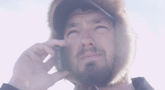
Thanks to Seth Fairbanks who traveled up to Takotna to grab some photos and video for us!
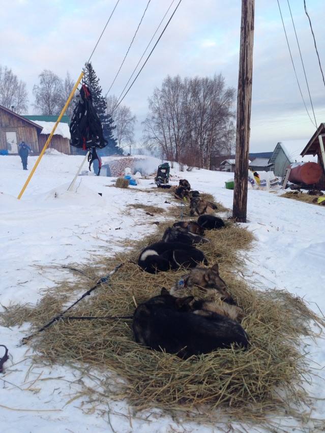
Team Kaiser at Rest in Takotna
Mike Williams Jr. has been on the trail for most of the day as he took his 24 hour layover early in Nikolai. Presently he is on the trail between Takotna and Ophir. He has a bit of a struggle with dogs and is now down to 9 in the Team.
Richie and Pete will return to the trail in the early morning hours tomorrow. Due to the Start differential, they will be leaving fairly close to each other. In fact, I am seeing Pete leaving just a few minutes before Richie. The differential should be 72 minutes. Pete arrived 1 hour and 9 minutes behind Richie and that would put him leaving 3 minutes ahead of Richie.
The trail for tonight will take the Teams to the Northwest and the checkpoint of Ophir 38 trail miles away. Then they will turn North and the 73 miles to Cripple.
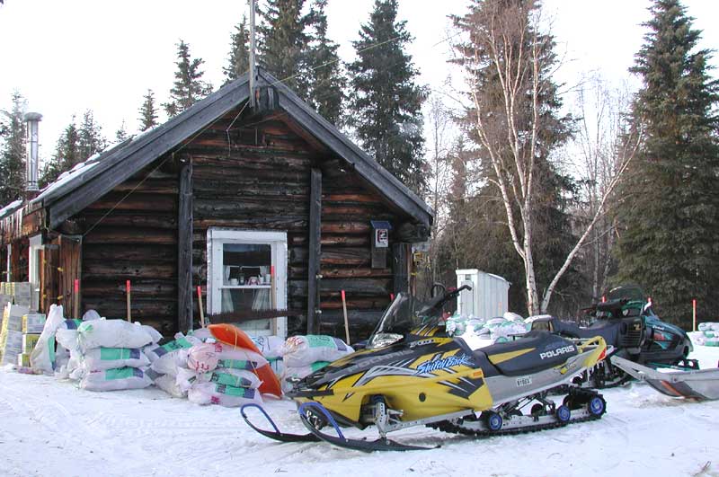
Ophir Checkpoint
Description of the Trail:
Takotna to Ophir – This leg is probably closer to 32 miles than the posted 38. It follows the old mining road over to Ophir, built in the 1920s to connect Takotna and Ophir with Sterling Landing, a steamboat landing on the Kuskokwim River. It is now maintained by the state; the stretch from Takotna to Ophir isn’t plowed in the winter. Like other Bush roads, it doesn’t connect to the state highway system.
Ophir to Cripple – This is now the longest leg of the entire race on either the northern or southern routes. The new distance is approximately 105 miles for the 2000 race. It will probably not run less than the posted mileage and will seem to take forever. It will now be necessary for most teams to camp for several hours along this leg. The trail generally runs along the Innoko River, crossing it three times. It then runs northeast away from the river, crosses the North Fork of the Innoko, and then runs along ridges on the east side of Poorman Creek. The terrain is mostly wooded with some open stretches in the river valleys. Expect 12 to 18 hours for this run. The trail has some rolling hills in the section between the North Fork of the Innoko and the Poorman airstrip. There are no unusually tricky sections and most of the run can be a fairly fast trail if conditions are right and the fast-moving Iron Dog snowmachines haven’t bumped up the trail as they did in 1998.
Takotna Weather .
TONIGHT...
MOSTLY CLOUDY WITH SCATTERED FLURRIES. LOWS 4 TO 9 BELOW. NORTHEAST WINDS TO 10 MPH.
Ruby Weather.
TONIGHT...
PARTLY CLOUDY. LOWS 6 TO 12 BELOW. EAST WINDS 5 TO 15 MPH.
.THURSDAY...PARTLY CLOUDY. HIGHS AROUND 10. NORTHEAST WINDS 10 TO
20 MPH.